Geography
Sudan today
Sudan is the sixteenth-largest country in the world and the third-largest in Africa, after Algeria and the Democratic Republic of the Congo. Its southern part belongs to the Sahel zone; the regions in the north are the southeasternmost part of the Sahara. Sahel in fact comes from the Arabic sahil, meaning border, referring to its position vis-à-vis the Sahara. The latter designation derives from Arabic sahra, which simply means desert.
The area south of Khartoum is characterised by wide clay plains with a savannah vegetation and an intense agricultural use. The transition from Sahel to Sahara is dictated by the maximum extension of the monsoon pattern which brings the yearly summer rains from the south. It reaches up to the latitude of Abu Hamed in the Great Nile Bend. North of it, there is virtually no precipitation, and the river oasis of the Nile forms the only space to live, except for nomadic groups who traverse the areas to the west and east. The latter are called the Libyan Desert and Nubian Desert respectively.
Travelling north means moving through a series of vegetation zones: dry savannah, thorn savannah, semi-desert and absolute desert. Towards the east, the Nubian Desert is bordered by the Red Sea Hills and the Red Sea.
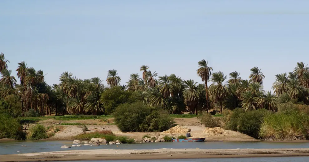
The most important landmark of Sudan is the Nile, which traverses the country from south to north. Measuring 6852 kilometres from its headwaters in Uganda up to its mouth on the Egyptian coast of the Mediterranean, it is the world's longest river. Sudan's capital Khartoum was developed at the famous confluence of the White and Blue Niles.
400 kilometres north from this point, the river turns into the so-called Great Bend. Recent research suggests that this vast diversion, which makes the waters flow from north to south over 300 kilometres, is a comparatively young formation, not older than 3 million years.
Another geological feature dictatingthe course of the Nile is its six cataracts: five in Sudan and one in Egypt – at Aswan. They represent extended uplifted swells of bedrock obstructing and narrowing the river bed. As a passage by ship through these sections is dangerous to impossible, the cataracts have constituted important borders since antiquity.