900 to 300 BC

Napatan period

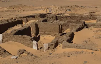
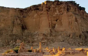
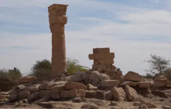
After 900 BC, a new indigenous power developed in the area of Jebel Barkal. Its rulers oriented themselves towards Egypt for their regal display. They adopted Egyptian gods, primarily the state god Amun, whose temples at Jebel Barkal and Kerma they revived or continued to operate. They employed Hieroglyphic Egyptian for their inscriptions and called themselves Kushites, adopting the term which the Egyptians had used for the Kerma people. The political entity which they founded, the so-called Kingdom of Kush, controlled the fate of the Middle Nile valley for more than one millennium. The first half of this period is called the Napatan, as the main settlement of the ruling elite was at Napata, a town at the foot of Jebel Barkal, near present-day Karima.

The oldest testimony of the Napatan kings is the royal cemetery at Kurru with a series of elite tombs, representing a sequence of successive rulers and their consorts. While the superstructures of the earliest tombs were tumuli i.e. earth mounds, the later burials were covered by pyramids.

By 750 BC, the expansionist Kushite rulers had extended their influence towards the north and set out to conquer Egypt, where they ruled as the 25th dynasty. Interestingly, they portayed themselves as the true keepers of Egyptian culture and tradition in their official propaganda. In 664 BC, they were expelled from Egypt by the Assyrians and contended themselves with conquering new dominions to the south and east after that.

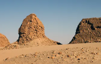
Taharqo, the most important king of the 25th dynasty, left the cemetery at Kurru, opening a new burial ground at Nuri, upstream of Jebel Barkal. Nuri became the necropolis of the Napatan rulers and their family for the following centuries, up to the movement of the royal cemetery to Meroe.


300,000 to 5000 BC

Old and Middle Stone Age

5000 to 2500 BC

New Stone Age

2500 to 1500 BC

Kerma period

1500 to 1070 BC

Pharaonic period

900 to 300 BC

Napatan period

300 BC to 350 AD

Meroitic period

350 to 600 AD

Post-Meroitic period

600 to 1500 AD

Medieval period

1500 to 1880 AD

Islamic period

1881 to 1898 AD

Mahdiya

1898 to 1956 AD

Anglo-Egyptian rule

Locations of interest:

Amara West

Amara West is a town site about 100 kilometres south of the Second Cataract. It was founded under Pharaoh Seti I and served as the administrative centre of the southern part of the Nubian province in the later New Kingdom. Read more ...
Dangeil

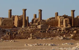
Dangeil is situated just upstream of the Fifth Cataract, 320 kilometres north of Khartoum. It is the site of an urban settlement of the Meroitic period. Its most important monument is a temple of Amun built in the 1st century AD. Read more ...

Jebel Barkal

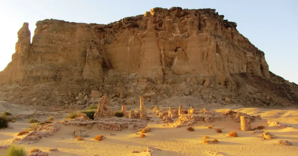
The UNESCO World Heritage site of Jebel Barkal is situated some 350 km north of Khartoum. It features some of the most important archaeological monuments of Sudan and is a key site of the Napatan period. Read more ...

Kawa

Kawa liegt zwischen dem Dritten und Vierten Katarakt auf dem Ostufer des Nil, gegenüber der moderen Stadt Dongola. Das wichtigste Monument des Fundplatzes ist ein großer Amuntempel, der unter dem kuschitischen Herrscher Taharqo errichtet wurde. Weiterlesen ...

Kerma

Kerma, at the southern end of the Third Cataract, was the centre of the major Bronze Age culture in the Middle Nile valley. The site comprises an urban agglomeration, a vast cemetery and a Pharaonic town. Read more ...

Kurru

Kurru is the ancestral cemetery of the Kushite rulers who also came to rule over Egypt as the 25th Dynasty. It is located 15 kilometres downstream of Jebel Barkal, on the northern bank of the Nile. Read more ...

Meroe

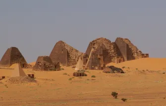
The UNESCO World Heritage site of Meroe is situated about 200 kilometres northeast of Khartoum. It became the capital of the Kushite Kingdom at the onset of the Meroitic period, about 300 BC. Read more ... 

Musawwarat es-Sufra

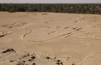
Musawwarat es-Sufra is situated about 120 kilometres northeast of Khartoum and 25 kilometres east of the Nile. Most of its standing monuments, including the unique Great Enclosure, date from the Meroitic period. Read more ...

Nuri

Nuri is the second cemetery of the Kushite rulers. It is situated 10 kilometres upstream of Jebel Barkal, on the southern bank of the Nile. Nuri was established by Taharqo, the most important king of the 25th Dynasty. Read more ...

Sanam

Sanam is a modern village six kilometres downstream of Jebel Barkal. Parts of a Napatan town have been revealed here. Its major monument is a temple of Amun. Read more ... 

Sedeinga

Sedeinga is located 13 kilometres north of Soleb, on the west bank of the Nile. Its main monument is a temple built by Amenhotep III, dedicated to Queen Tiye as a manifestation of the Eye of Ra. Read more ...

Tombos

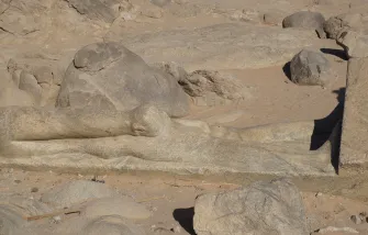
Tombos is the name of a series of sites on the east bank of the Nile in the area of the Third Cataract. They include numerous rock inscriptions, a New Kingdom cemetery and a quarry with an unfinished Napatan statue. Read more ...